| Home | ||
|
Recent Activities |
The Name |
Mountain Walks |
|
Pilgrim Walks |
Fell Walks |
Coast Walks |
|
Other Walks |
Strolling |
Hiking Statistics |
|
Narrowboating |
River Cruises |
Travel |
| Cornwall | Cathedrals | Copyright |
|
26th October 2012
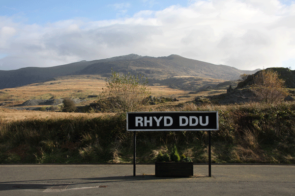
Rhyd Ddu Station on the Welsh Highland Railway with Snowdon towering in the background
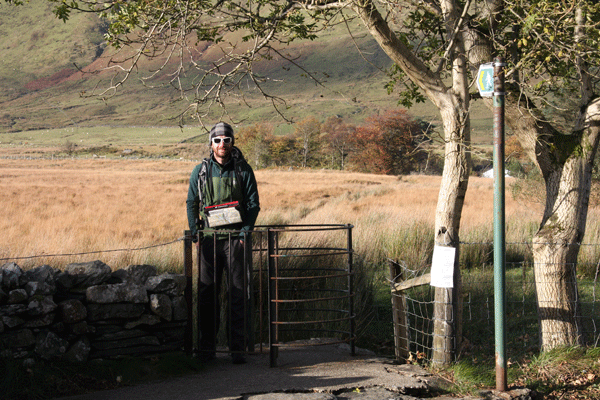
Nick by the kissing gate across the road from Rhyd Ddu Station carpark.... the start of the walk
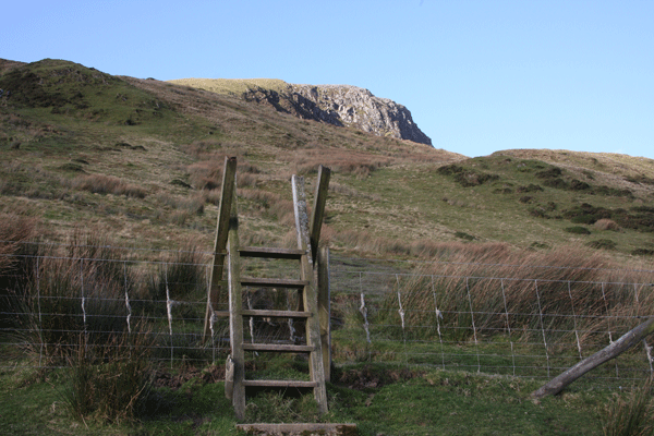
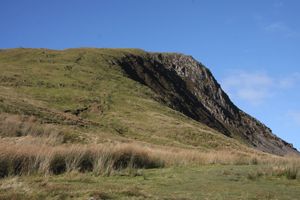
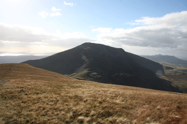
Y Garn viewed from the start of the walk, with the rocky outline of Mynydd Drws-y-coed to the left
Y Garn looks less formidable as you gain height
Looking back over the route, with Snowdon in the background and Llyn-y-Gader to the right
Y Garn getting closer
The terrain gets rockier as you approach the summit of Y Garn, which is reached
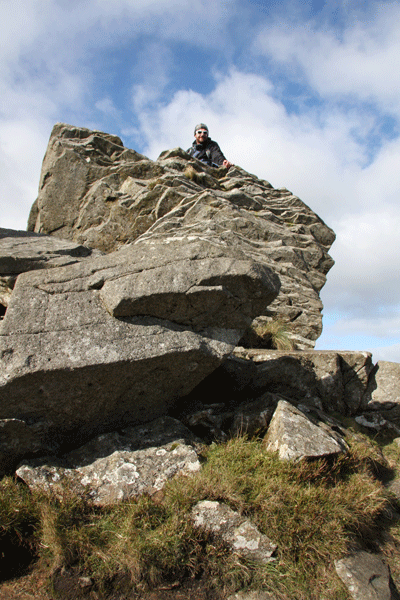
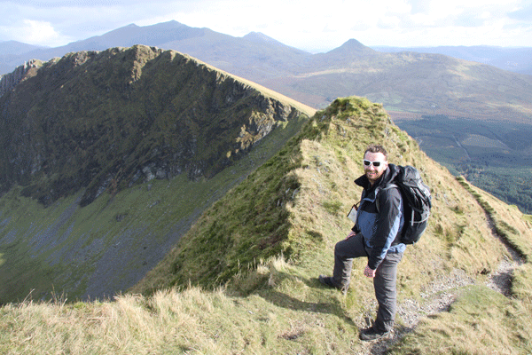
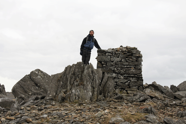
"Team Piper" at the summit of Y Garn
Snowdon viewed from Y Garn
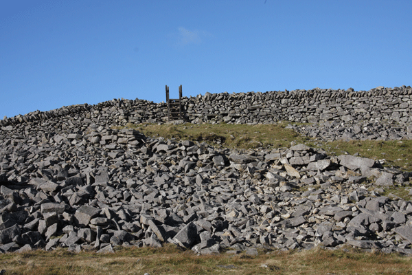
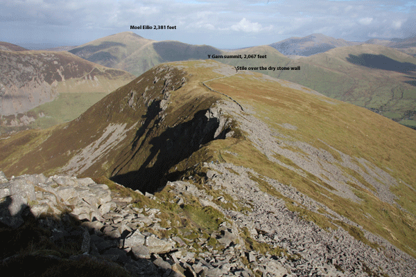
The next objective, Mynydd Drws-y-coed (2,280 feet) viewed from the stile over the dry stone wall at Y Garn
The path towards Mynydd Drws-y-coed is clear enough, but the way to the top of the peak
The route goes right up the ridge line to the right, towards the rock "cannon" at the top
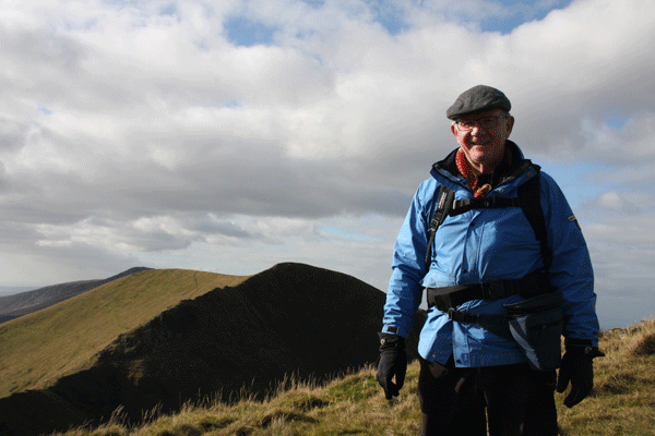
Here we are on the early stage of the climb of Mynydd Drws-y-coed looking back to Y Garn;
Nick taking the more exposed route up the ridge
Another view back down the ridge
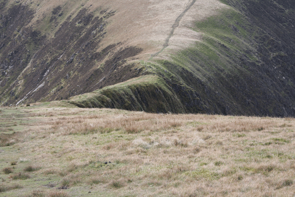
Eventually the ridge levels out onto a narrow grassy path; there are still exposed places to
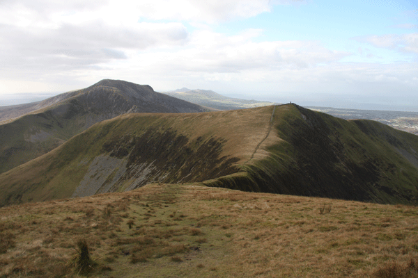
Trum y Ddysgl in shadow, with the grassy ridge beyond
Looking back, yet another view of Snowdon
The path slightly to the right along the ridge line leads to Trum y Ddysgl
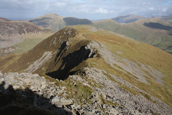
Looking back from whence we came; the ridge is similar in shape to Crib Goch on Snowdon.
Another view of the ridge, with Y Garn highlighted by the sun on the left
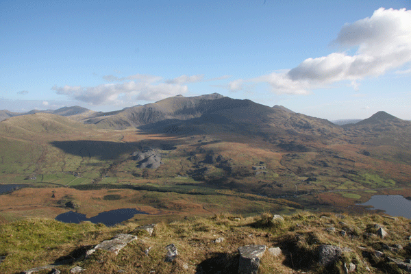
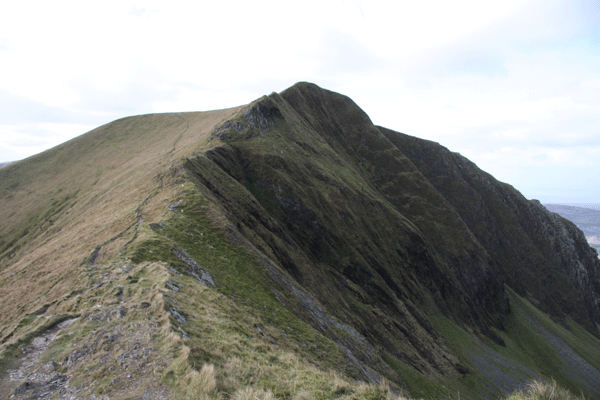
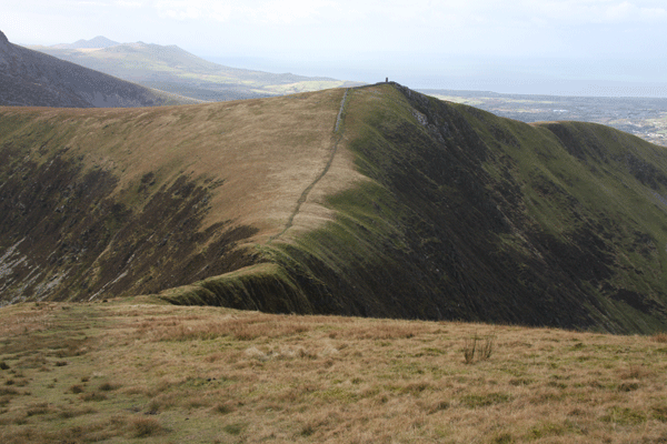
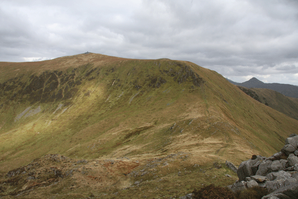
Looking along the grassy ridge at Trum y Ddysgl. The next peak, Mynydd Drws-y-coed with the obelisk can be seen extreme right; the traverse to Mynydd Drws-y-coed goes down to the right and is a much photographed view of the walk; the dark peak in the background is Craig Cwm Silyn
The traverse to Mynydd Tal-y-mignedd
From a distance the traverse looks as though it is a continuous grassy path, but as you
Broken rock on the traverse
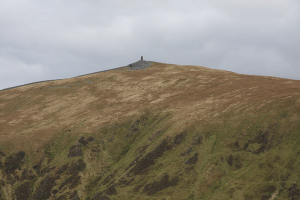
The obelisk at Mynydd Tal-y-mignedd, built by quarry men as a tribute during
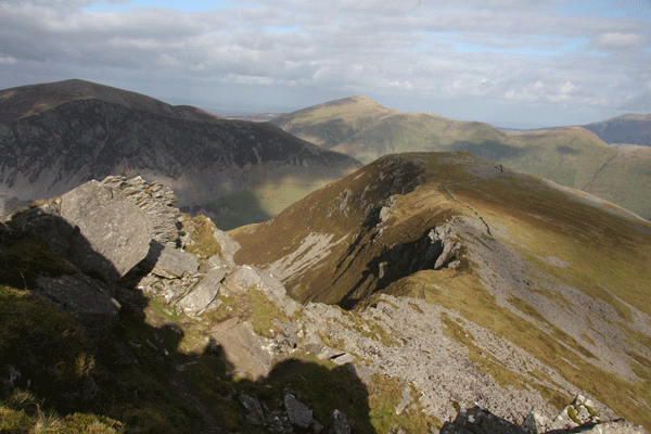
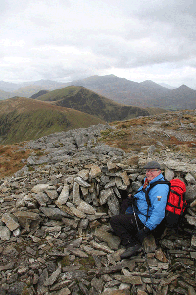
Looking back over the traverse to Trum y Ddysgl from the obelisk
The route ahead. Looking down to the col, Bwlch Dros-bern and the summit of Craig Cwn Silyn.
Looking down on the col, Bwlch Dros-bern, as we climb Craig Cwm Silyn
Looking back to the obelisk at Mynydd Tal-y-mignedd
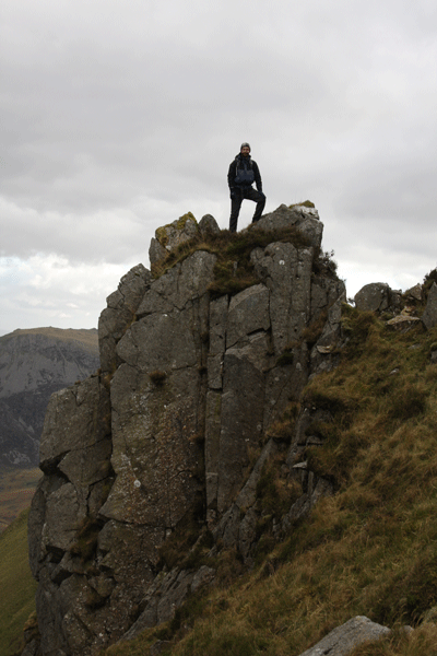
A rock stack to the side on the climb to Craig Cwm Silyn; not on the route
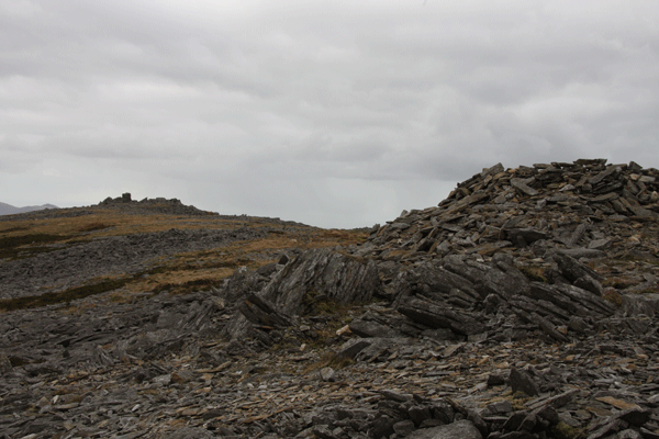
Approaching the top of Craig Cwm Silyn; actually the top is a rocky ridge rather than a distinct peak
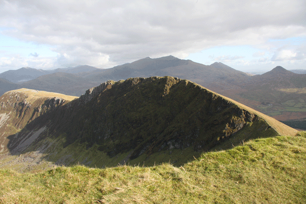
Craig Cwm Silyn
Craig Cwm Silyn
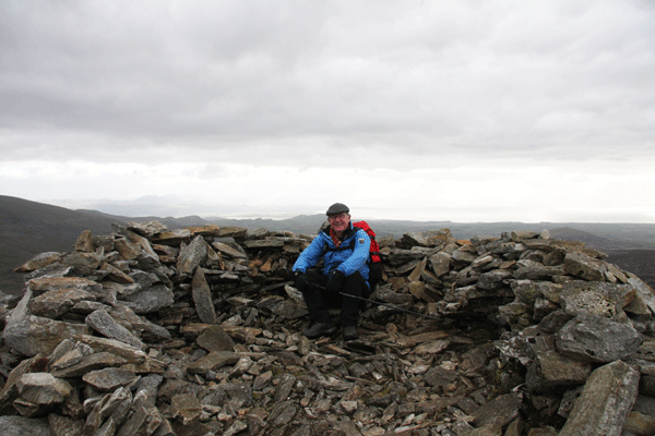
A small shelter on Craig Cwm Silyn; by now the sky had clouded over and it was getting quite cold.
At the western end of Craig Cwm Silyn
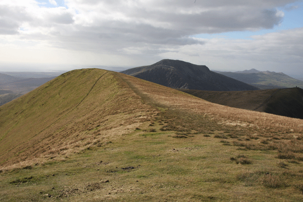
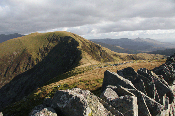
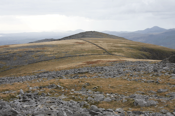
The gentle traverse from Craig Cwm Silyn to Garnedd Goch
Mynydd Graig Goch ahead, with Nebo just visible beyond the tarn Llyn Cwm Dulyn
Llyn Cwm Dulyn
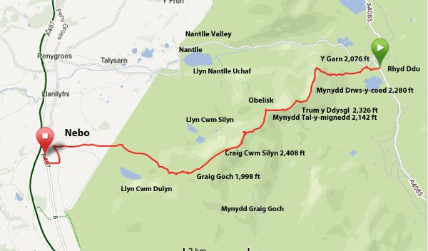
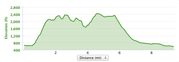
The route profile
|
||||||||||||||||||||||||||||||||||